UAS flight times reduces time spent and overall cost of a site survey on many of our projects while supporting conceptual and design processes for architects and engineers. Meridian Engineering has embraced this technology as drone flights function well with other surveying techniques to add efficiency and precision for gathering data of a target area.
Our UAS team has been instrumental in helping develop standards at Meridian that are in line with FAA regulations. Our pilots are also well versed in collecting field data using GPS, 3D Laser Scanning, UAS, and conventional surveying methods as well as GPS baseline processing, and network adjustments. No matter the survey tool used, quality survey practices and principles contribute to the efficiency and accuracy in Meridian’s work efforts for our clients.
Here are some benefits for choosing Meridian’s UAV surveying:
- Three (3) FAA Part 107 Licensed Pilots and Specialists for UAS – Unmanned Aircraft System – operation. Our pilots are experienced in Area Flight Operations and Protocols, Data Processing, and Feature Extraction.
- Hundreds of acres mapped at expedited rates
- Data compatible with current design platforms such as and photogrammetric processing software as well AutoCAD and Bentley products.
- High resolution digital and optical imagery for large-scale mapping. Photogrammetry combines images that contain the same point on the ground from multiple vantage points to generate detailed 2D and 3D maps.
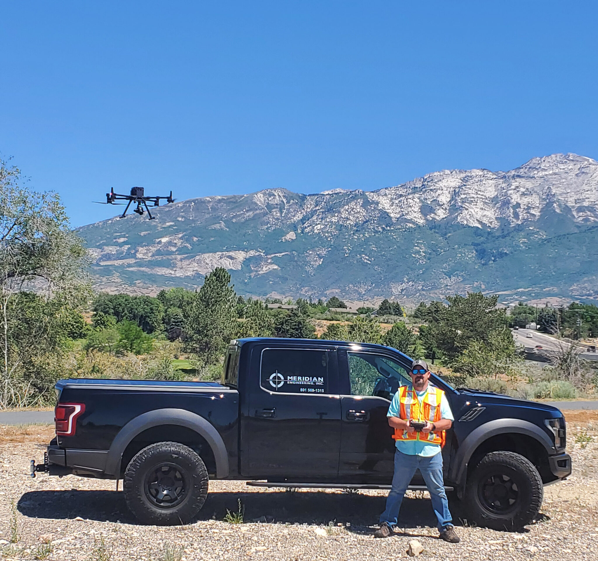
- M300 Drone technology coupled with a P1 camera and Rock Robotic LiDAR sensor can efficiently classify raw point cloud data using Photogrammetry and LiDAR into actionable data sets for engineers and architects to use as a base for design documents.
Check it out in use:
https://youtu.be/RpKSOZpsaeo
Frequently Asked Questions
What is the cost and timeline for a UAV survey?
This is broad question in nature for the level of aerial flights Merdian pilots will perform. To give you an idea, we can fly a small intersection for a client one day, but then spend the next two months working on a 35-mile corridor, followed up by a 600 acre flight that we may spend 3 weeks performing. The price range between those two flights are from $2,500 for an intersection flight to over six figures with the 35-mile corridor. We also always put our flight data on control we’ve developed with the best surveying practices available in order to ensure the design engineers have confidence in our final deliverables. This includes a full GPS network and differential level loops for good vertical accuracies. This control would tie into each GCP required for the flight and final processing.
What are the specific requirements necessary to complete the survey - such as permits, equipment, or site conditions?
There are absolutely pre-flights requirements that need to be taken into account. We can’t fly over a state highway without a permit from UDOT’s aeronautics division and we always ensure we aren’t in restricted airspace. If we are in restricted airspace, we’ll work with that governing agency to ensure we can fly safely at a given time and location. We’ve had success in flying next to and on the SLC International Airport, but that’s after months of coordination with Airport OPS and the FAA.
[/vc_column_text]