Land Surveyor and Geomatics
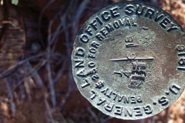
A land survey gives you the knowledge to understand and maximize your property. Meridian uses the latest equipment and technology to locate and document the property lines to complete a land survey.
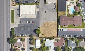
Land surveys describe the property boundaries and can provide detailed information about the parcel, including the location of buildings and improvements made to the parcel of land. Land surveying can also offer detailed information about any easements or rights-of-way on the property, help you determine if a neighbor is encroaching on your property, and provide you with any other necessary legal description of your land.
We Deliver Accurate, Detailed Land Information
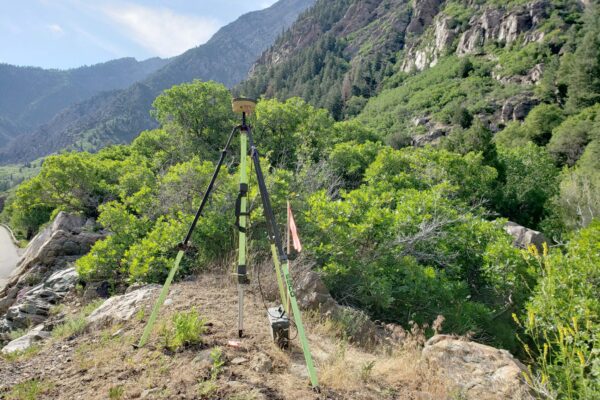
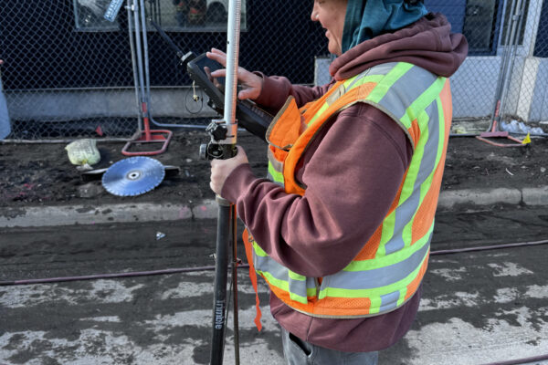
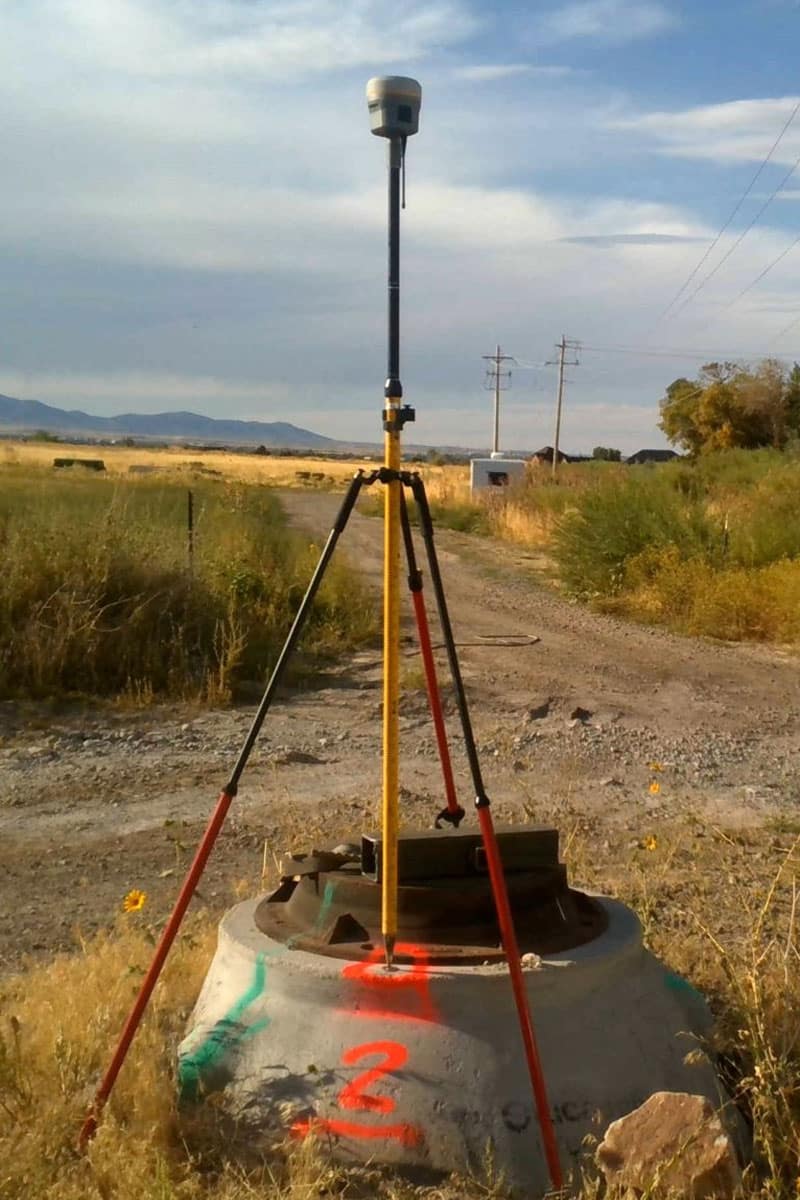
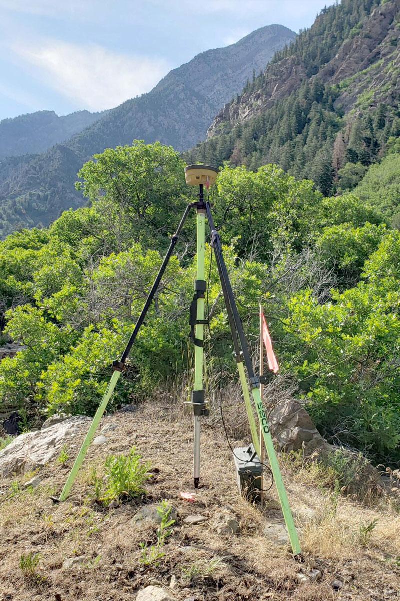
At Meridian Engineering, our experienced field crews use a variety of high-accuracy, technical field equipment to perform precise measurements needed to compile area mapping. Based on the information collected from the field, one of our licensed surveyors analyzes the data to help determine property boundaries and conditions for future design and construction activities. After the survey, we provide our clients with the determination of property boundaries, prepared maps, and site plans.
We offer the following comprehensive services in these areas of expertise:
Residential Surveys
As a homeowner or potential homeowner, there might be a few reasons why you need land surveying services in Utah, Idaho, Nevada, Colorado, Arizona, or Wyoming. Resolving property line disputes, knowing where you can install a fence, and fulfilling requirements for a construction project are just a few reasons. Our professionals complete and document this information so you can move forward with your plans.
Commercial Real Estate Surveys
Completing some real estate contracts might require an ALTA/NSPS Land Survey. When performing ALTA/NSPS Land Title Surveys, Meridian understands the process of providing detailed land parcel mapping while showing existing improvements, easements, and encumbrances of the property, utilities, and significant observations concerning the property boundaries. Meridian follows ALTA/NSPS Land Title Survey Standards effective Feb. 23, 2021. Our commercial real estate surveys can provide detailed topography information, locate features, and provide boundaries for a remodel project or new building. At Meridian Engineering, we recognize that land surveying in Utah and surrounding states is a large part of the real estate process, and we’re here to help you simplify it.
Industrial Surveys
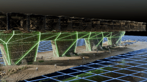
Our expertise and equipment allow us to complete complex surveys for contractors, engineers, and design professionals as needed. We measure pipes, structures, and other industrial elements using LiDAR for our industrial surveys. We understand the need for accurate modeling, measuring, and monitoring in our industrial surveys. At Meridian Engineering, we understand the needs of our industrial clients and the importance of safety compliance.
Licensed Professional Land Surveyors
Meridian Engineering employs a large professional staff of Licensed Professional Land Surveyors who are supported by proficient field (7) full-field crews and design CAD tech staff. Our expertise in ALTA/NSPS Land Title Surveys, Records of Survey, and other boundary plats and maps is unparalleled in the industry. Our combined experience allows us to provide the client with a comprehensive product that will satisfy the project’s needs. Over the years, we have established ourselves as experts in land surveying and completed many complex projects.
Safety and Certification
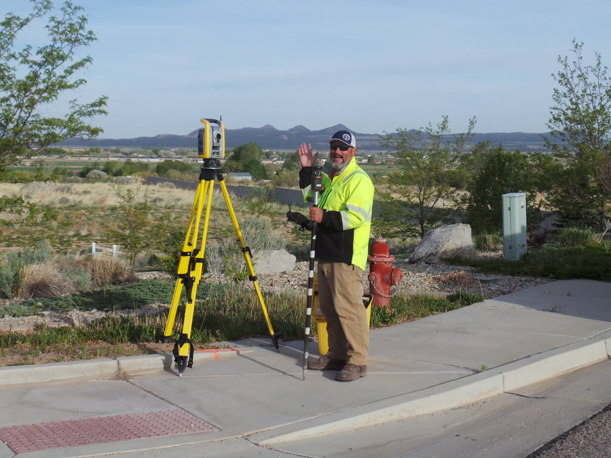
Meridian Engineering prioritizes safety, and it is ingrained in every aspect of our work. Our land surveyors frequently work in challenging and potentially hazardous environments, such as construction sites, roads, highways, and industrial areas. To ensure the safety of our employees and minimize the risk of accidents or injuries, we provide comprehensive safety training and certification programs. These programs help our team members stay safe on the job while complying with industry regulations and guidelines.
Meridian’s Team Focused Safety Procedures include focusing on the gain of maintain healthy individual team members and positive project outcomes. Embracing safety in the field includes a Near-miss Reporting Program, HSE training, Occupational Health Program, and Equipment Preventative Maintenance Program.
Our Quality Management Program ensures conformance with contract requirements, industry standards, and applicable codes, laws, and licensing requirements. We adhere to established building standards and are committed to delivering quality documents and service. We strive for this consistency in our daily deliverables. We also work safely and consciously to protect all’s health and the environments of which we work in.
HAZWOPER Certification
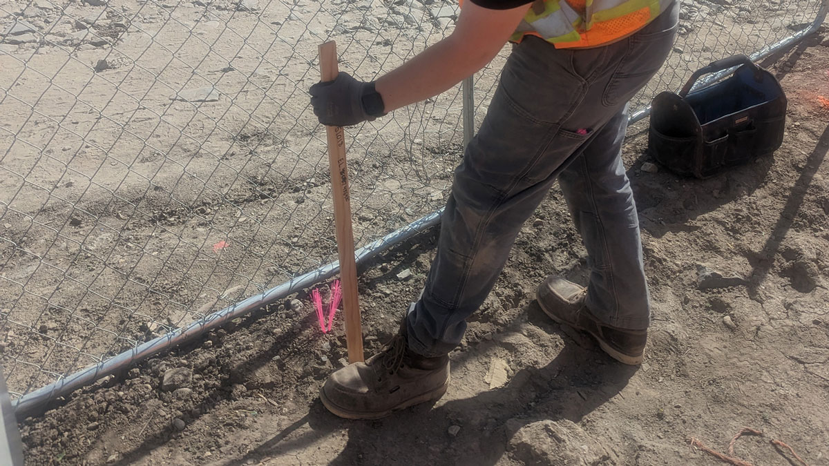
Our employees receive Hazardous Waste Operations and Emergency Response (HAZWOPER) certification. This required certification helps protect our surveyors and anyone else near the survey site. It equips our surveyors with the necessary knowledge and skills to safely handle hazardous materials and respond to emergencies in accordance with OSHA guidelines. By HAZWOPER certifying our team members, we can maintain a safe work environment and protect our employees and the surrounding community.

MSHA Certification
Our surveyors also undergo training and certification by the Mine Safety and Health Administration (MSHA) when working on active mine sites. Mining operations present unique challenges and potential hazards, making MSHA certification crucial for the safety of our team members. By adhering to MSHA regulations and standards, we prioritize the well-being of our employees while delivering quality surveying services to our clients.
Railroad Contractor Certification
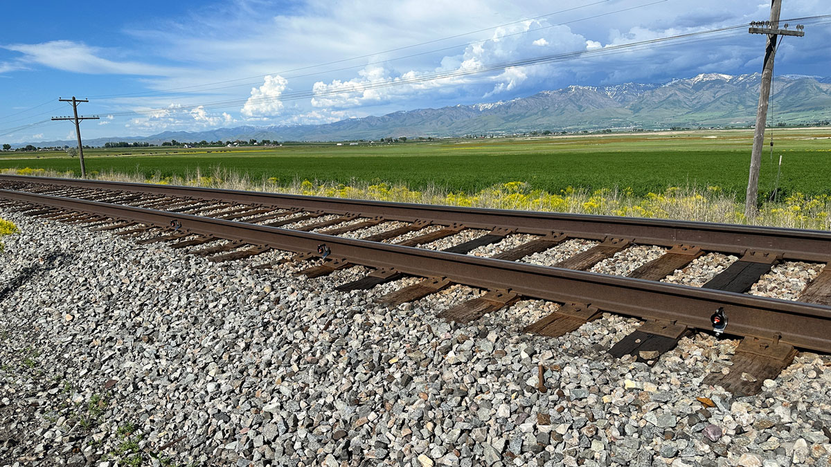
Meridian Engineering’s field crews are e-RAILSAFE certified for all work near or on active railroads. This certification program, designed for railroad contractors, vendors, and suppliers, focuses on improving the security of railroad employees, operations, and facilities. Our team members undergo comprehensive background investigations, safety and security awareness tests, and workplace credentialing to ensure compliance with the program and maintain a safe working environment near railroads.
Why Meridian is The Right Surveyor for Your Project
With eleven (11) licensed Professional Land Surveyors on staff, Meridian distinguishes itself from our local competitors by providing our clients with the broadest range of licensed professional experience, including transportation and connectivity, utility/energy, commercial development, or private properties. Our knowledge of the survey/mapping and right-of-way design industry, as well as the statutes governing the profession, continually represents our clients well.
Our Survey Manager, Michael Nadeau, is a Certified Federal Surveyor (CFedS). This allows Meridian to support you on any land surveying project involving tribal lands and other federal interest lands. Contact us today to get started on your next project.
Frequently Asked Questions
What is land surveying?
Simply put, land surveying is the process of understanding land boundaries. It is the science and art of establishing or even reestablishing lines, corners, and edges based on standards of practice, recorded documents, and historical evidence.
Civil engineers who require land surveys for design purposes commonly use LiDAR to determine points between land surfaces for measuring purposes. Using this form of data helps the engineers accurately determine plot boundaries and create 3D CAD models. To accomplish this activity, Meridian scans existing structures utilizing terrestrial LiDAR methods – LiDAR = Light, Detection and Ranging. The use of remote sensing technology is used to provide a detailed point cloud and subsequent 3D Model of the existing structures to expedite design workflows for the design team
How much does a land survey cost in Utah?
The cost of a survey in Utah is determined by first, what type of survey will be needed – topographic, boundary, ALTA/NPSP, subsurface utility, construction staking, and second, what it is to be used for. For a more specific and accurate quote, contact Meridian Engineering to help you determine what type of survey is needed. We will be happy to provide you with a realistic and competitive quote that will fit the site’s needs.
Do you need a surveyor when buying land?
Before purchasing a piece of land, you should have a professional survey of the area. The survey provides proof of what you are buying and provides boundary confirmation of the property lines. A survey also helps determine if any structures built on the property will comply with zoning and neighborhood regulations. Zoning will also demonstrate proof of any existing easements and can provide necessary legal descriptions.
Meridian’s survey crews have conducted many surveys both small and large by providing design grade surveying of existing surfaces, mapping, ALTA/ACSM Land Title Surveys, utility investigations, boundary and easement determination, and subdivision platting to inform further development of property.
What is a legal description?
Legal descriptions provide clear definitions of a parcel’s dimensions and boundaries. Legal descriptions use existing township grids to define the parcel’s location and are unique to each plot of land. The legal description reduces any confusion about where boundaries begin and end. Many land purchasing documents use legal descriptions, such as sales contracts, deeds, property tax statements, mortgages, and Records of Survey’s.
Meridian Engineering provides a standard format for legal descriptions. Parcel ownership is confirmed, appropriate conveyance forms are used, and geometry with area and closures that match the legal description are listed. We follow a strict QA-QC process to provide the most complete and accurate deliverable.
What is included in a land survey?
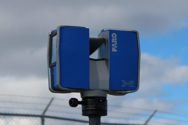
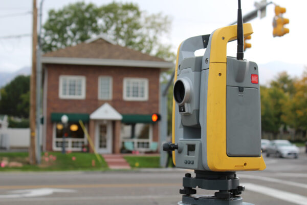
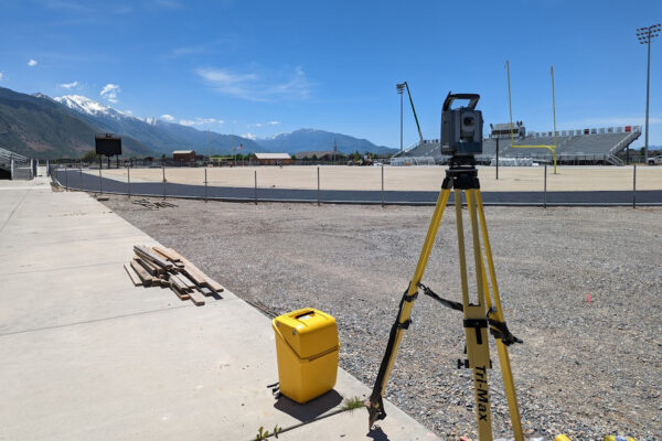
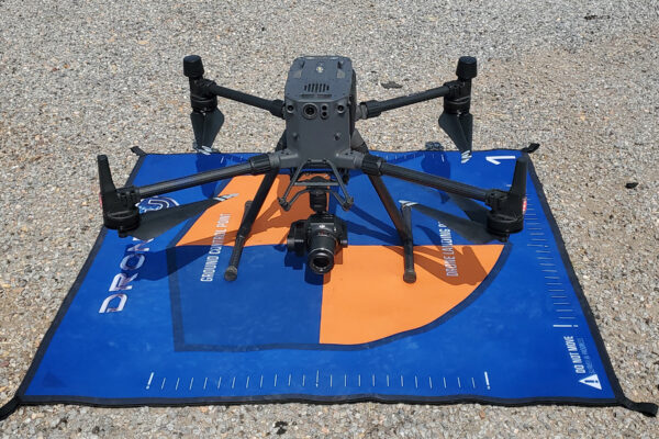
Professional land surveyors perform the measurements required for creating a map of an area. The professionals at Meridian Engineering use various field equipment such as Trimble Data Collectors and Receivers, Phantom 4 and M-300 UAVs (drones), total stations, robotic total stations, and software such as auto-CAD to create plats. When the survey is concluded, the determination of property boundaries, the preparation of maps, and the site plots are all included in a land survey. A final record of survey is lastly recorded within the respective county surveyor’s office.


