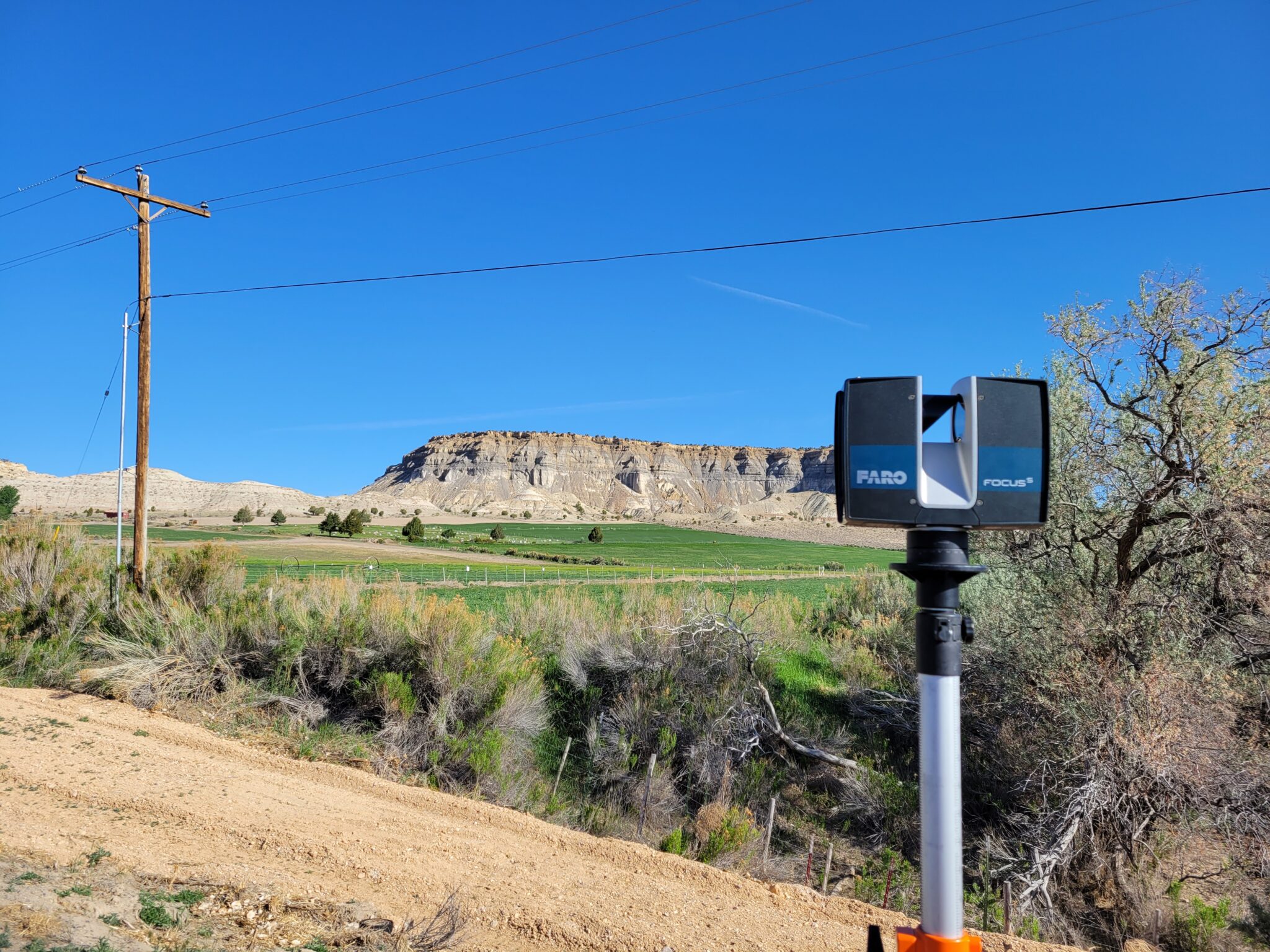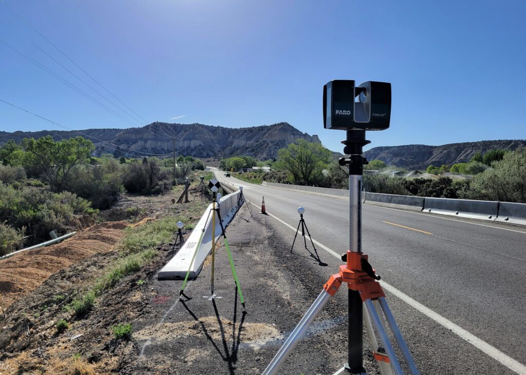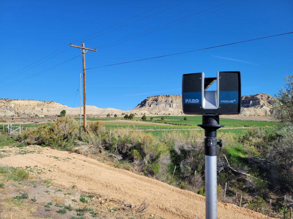
Meridian’s LiDAR manager and Professional Land Surveyor, Brian Boehmer, gets the credit for these crisp clean views while surveying the existing bridge structure over Henrieville Wash and SR-12 just northeast of Henrieville, Utah. The goal with gathering these scans will be to create 3D CAD models of the existing structure for use by the roadway and structural design teams.
To accomplish this activity, Meridian scanned both existing structures utilizing terrestrial LiDAR methods – LiDAR = Light, Detection and Ranging. The use of remote sensing technology is used to provide a detailed point cloud and subsequent 3D Model of the existing structures to expedite design workflows for the team.
In Brian’s words, “The best part of field work away from the office is the wonderful views and landscapes. Being in an area with no cell service is a close second!”


