Meridian has a proven track record for performing Cadastral Surveys and Public Land Survey System Retracement. Meridian’s Survey Division Manager, Michael Nadeau, has endured the 120 coursework hours through the Bureau of Land Management (BLM) to become a Certified Federal Surveyor (CFedS).
The CFedS program was designed specifically to enhance the level of knowledge and expertise in the professional land surveying community while performing survey activities on Federal Interest Lands, Indian Trust lands and benefits boundary retracement in subdivisions of public lands even when not on Federal Interest Lands. Mr. Nadeau has been certified since 2007, and continues to develop his skills with CFedS seminars, training, and continuing education through the BLM for creating, defining and re-establishing needed public land boundaries.
Meridian’s survey division brings extensive survey and right-of-way experience while working with State and Federal agencies such as US Forest Service, Bureau of Land Management, Bureau of Reclamation, FHWA and State Departments of Transportation to provide controlling monumentation, base mapping, SUE designations, perfected easements, and existing right of way plans sheets.
Project Experience
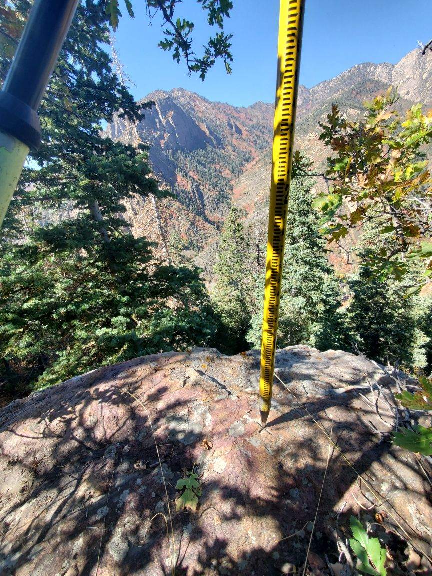
- Big Cottonwood Canyon – Surveying, mapping, existing right of way identification, right-of-way design plans, and easements throughout the entirety of from the mouth to top at Brighton Loop and Guardsman’s Pass while coordinating with USFS/UDOT.
- Tooele Army Depot Well Monitoring, Utah
- Nephi Readiness Center, Nephi, Utah – Design grade surveying, mapping and right of way services for the Infrastructure Upgrades
- SR-150 MP13.5 to 15.5 Uinta Wasatch Cache National Forest, Utah – Surveying and ROW services for shoulder widening and roadway rehabilitation. This Project included coordination with the US Forest Service, Bureau of Reclamation, FHWA, and UDOT.
- Us Fish and Wildlife Grays Lake National Wildlife Refuge Boundary Survey, Wayan, Idaho
- Salt Lake City International Airport Surplus Canal Relocation, Salt Lake City, Utah – Bathymetric surveys, terrestrial LiDAR, airborne LiDAR. Coordination with FAA, Airport Authorities, and Prime-HNTB
- Bear Lake Marina Expansion, Garden City, Utah – Bathymetric surveys for the Department of Natural Resources/DFCM